
Jelle Harms, an expert mapper and spatial analyst currently working with the LIFE Vultures project, tells us about his valuable work.

From mapping national parks for Google in West Africa to vegetation change studies in Zambia with the Swiss Federal Institute of Technology, my passion for ecological mapping and spatial analysis has taken me all over the world.
Attracted to the initiative’s pragmatic, hands-on approach, my association with Rewilding Europe began in 2016 with the collection of spatial data from four rewilding areas. Given the vast scale of such areas, I firmly believe that such data can play a vital role in the accurate monitoring of regional succession, and empower decision makers with regard to rewilding best practice.
As a spatial ecologist, my main area of expertise lies in combining field observations with any other relevant and available data for a specific area. The idea is to link data such as the GPS locations of (reintroduced or resident) species, habitat requirements, land cover type and vegetation characteristics to environmental data such as satellite imagery, weather and climate variables, landscape topology, management practices and human influences or disturbances. This is done in a Geographic Information System (GIS).

GIS systems enable us to find solutions to various ecological challenges. In turn this allows for better insights into how a particular species uses an area, and its impact on it. By creating species distribution and habitat suitability models, it is possible to select optimal release sites for the reintroduction of animals, and to define priority areas for rewilding actions. GIS studies can also serve as powerful communication tools and drive discussions in the field of nature conservation policy and development.
But perhaps the most important use of spatial data is to create an effective monitoring system. Such a system can give Rewilding Europe a much clearer picture of developments across its various areas of operation. The possibilities and applications of GIS and spatial data are endless, and have yet to be fully explored for rewilding purposes.
 My current job at Rewilding Europe is to collect, assimilate and store spatial data for the LIFE Vultures project. To date, GPS fixes of 17 vultures have been collected and stored in a central database and the aim is to tag 40 vultures. Together with information on vulture nests and roosting sites, major electricity lines in the project area that are posing a risk of collision and electrocution and the location of poisoned baits or mortality events, this will provide a vast database which can be shared with all project members to gain fresh insight and underpin new action.
Ultimately, the GIS databases from single projects will be combined into one centralized database, enabling effective regional monitoring and allowing better decision making with regard to potential follow-up activities.
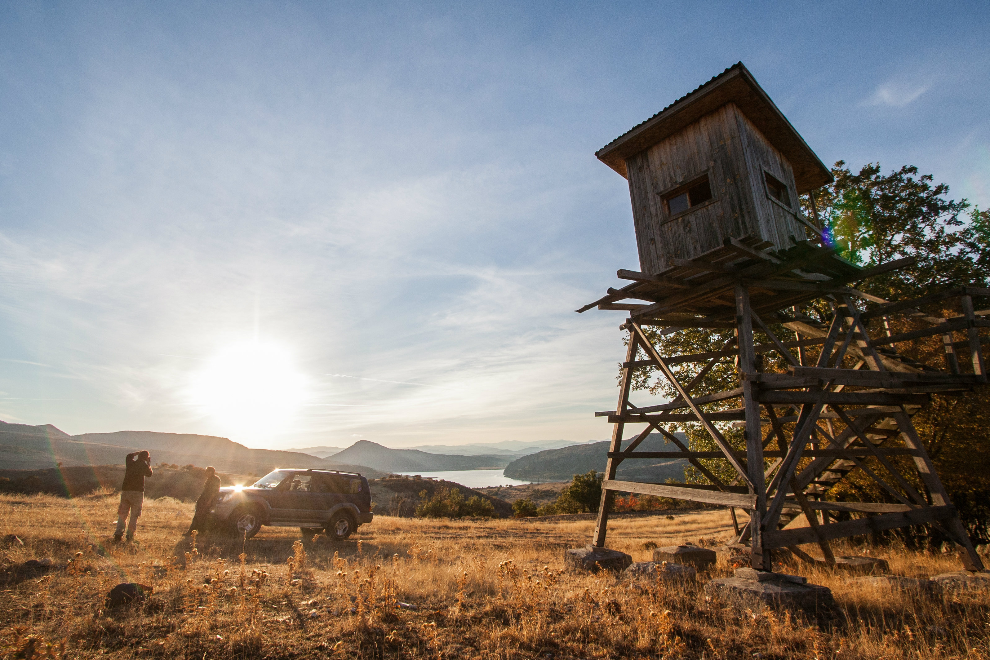
Most of my work is done behind a desk, but I occasionally meet up with other team members in the field. This gives me a better feel for the landscape and its features. Data is just data – on the ground is where the real magic happens.
Visiting hunting areas on the verge of transition towards wildlife tourism, sitting around the fire in the heart of the Rhodope Mountains discussing the area with the local team, spotting a group of griffon vultures overhead, some of which are collecting vital data at that very moment – it is these experiences which keep me smiling back in the office.